
Las Vegas topographic map
Interactive map
Click on the map to display elevation.
About this map
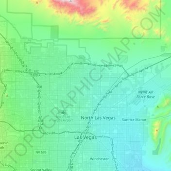
Name: Las Vegas topographic map, elevation, terrain.
Location: Las Vegas, Clark County, Nevada, États-Unis d'Amérique (36.12955 -115.42428 36.38084 -115.06207)
Average elevation: 756 m
Minimum elevation: 505 m
Maximum elevation: 2,100 m