
Thank you for supporting this site ❤️
Make a donation
Make a donation
Ketoo Kalan topographic map
Click on the map to display elevation.
Thank you for supporting this site ❤️
Make a donation
Make a donation
About this map
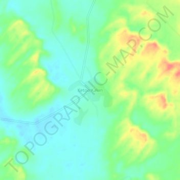
Name: Ketoo Kalan topographic map, elevation, terrain.
Location: Ketoo Kalan, Shekhata Tehsil, Jodhpur(Rural), Rajasthan, India (26.49998 72.43541 26.53998 72.47541)
Average elevation: 298 m
Minimum elevation: 278 m
Maximum elevation: 336 m
Thank you for supporting this site ❤️
Make a donation
Make a donation