
Leens topographic map
Interactive map
Click on the map to display elevation.
About this map
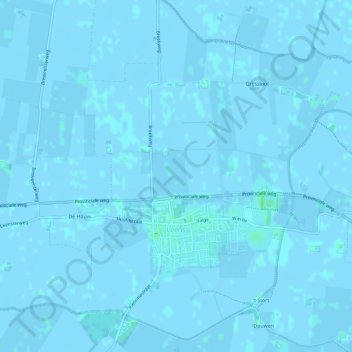
Name: Leens topographic map, elevation, terrain.
Location: Leens, Het Hogeland, Groningen, Niederlande (53.34783 6.36265 53.38279 6.41140)
Average elevation: 0 m
Minimum elevation: -3 m
Maximum elevation: 4 m