
Thank you for supporting this site ❤️
Make a donation
Make a donation
Bellota topographic map
Click on the map to display elevation.
Thank you for supporting this site ❤️
Make a donation
Make a donation
About this map
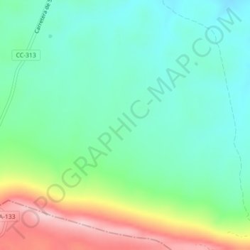
Name: Bellota topographic map, elevation, terrain.
Location: Bellota, Salorino, Cáceres, Estrémadure, 10570, Espagne (39.42988 -7.02326 39.44988 -7.00326)
Average elevation: 382 m
Minimum elevation: 313 m
Maximum elevation: 537 m
Thank you for supporting this site ❤️
Make a donation
Make a donation