
Thank you for supporting this site ❤️
Make a donation
Make a donation
Ageida topographic map
Click on the map to display elevation.
Thank you for supporting this site ❤️
Make a donation
Make a donation
About this map
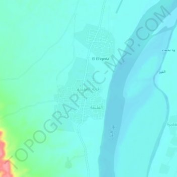
Name: Ageida topographic map, elevation, terrain.
Location: Ageida, ad-Damer, River Nile State, Sudan (17.27003 33.70580 17.31003 33.74580)
Average elevation: 359 m
Minimum elevation: 346 m
Maximum elevation: 441 m
Thank you for supporting this site ❤️
Make a donation
Make a donation