
's-Heerenberg topographic map
Interactive map
Click on the map to display elevation.
About this map
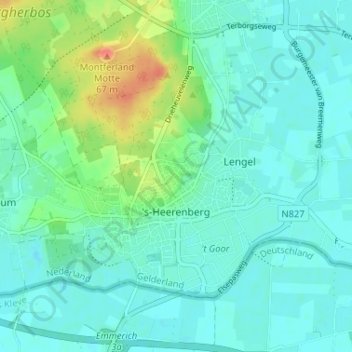
Name: 's-Heerenberg topographic map, elevation, terrain.
Location: 's-Heerenberg, Montferland, Gelderland, Netherlands (51.86813 6.22960 51.89578 6.29447)
Average elevation: 22 m
Minimum elevation: 11 m
Maximum elevation: 60 m