
Hato Corozal topographic map
Interactive map
Click on the map to display elevation.
About this map
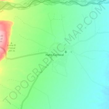
Name: Hato Corozal topographic map, elevation, terrain.
Location: Hato Corozal, Casanare, Colombia (6.11351 -71.80865 6.19351 -71.72865)
Average elevation: 260 m
Minimum elevation: 215 m
Maximum elevation: 391 m