
Saket topographic map
Interactive map
Click on the map to display elevation.
About this map
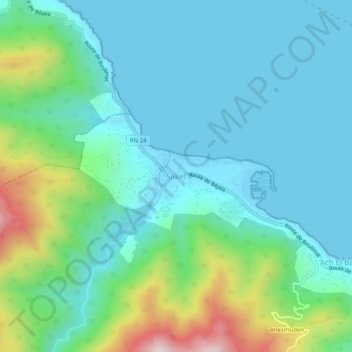
Name: Saket topographic map, elevation, terrain.
Location: Saket, Béjaïa, Daïra Béjaïa, Béjaïa, 06000, Algérie (36.80651 4.92107 36.84651 4.96107)
Average elevation: 115 m
Minimum elevation: -1 m
Maximum elevation: 522 m