
Thank you for supporting this site ❤️
Make a donation
Make a donation
Loflin topographic map
Click on the map to display elevation.
Thank you for supporting this site ❤️
Make a donation
Make a donation
About this map
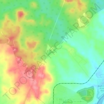
Name: Loflin topographic map, elevation, terrain.
Location: Loflin, Russell County, Alabama, United States (32.17710 -85.05493 32.21710 -85.01493)
Average elevation: 102 m
Minimum elevation: 58 m
Maximum elevation: 156 m
Thank you for supporting this site ❤️
Make a donation
Make a donation
Other topographic maps
Click on a map to view its topography, its elevation and its terrain.