
Thank you for supporting this site ❤️
Make a donation
Make a donation
El Mesegar topographic map
Click on the map to display elevation.
Thank you for supporting this site ❤️
Make a donation
Make a donation
About this map
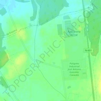
Name: El Mesegar topographic map, elevation, terrain.
Location: El Mesegar, Olmedo, Valladolid, Castile and León, 47410, Spain (41.31006 -4.70888 41.33006 -4.68888)
Average elevation: 740 m
Minimum elevation: 732 m
Maximum elevation: 749 m
Thank you for supporting this site ❤️
Make a donation
Make a donation