
Gontán topographic map
Interactive map
Click on the map to display elevation.
About this map
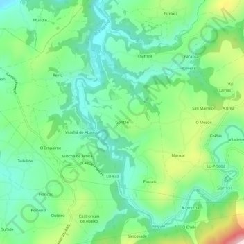
Name: Gontán topographic map, elevation, terrain.
Location: Gontán, Samos, Sarria, Lugo, Galicië, 27620, Spanje (42.72141 -7.36952 42.76141 -7.32952)
Average elevation: 571 m
Minimum elevation: 454 m
Maximum elevation: 840 m