
Gillyholme (Ely) topographic map
Interactive map
Click on the map to display elevation.
About this map
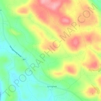
Name: Gillyholme (Ely) topographic map, elevation, terrain.
Average elevation: 104 m
Minimum elevation: 47 m
Maximum elevation: 169 m
Other topographic maps
Click on a map to view its topography, its elevation and its terrain.
Gillyholme (L’Estrange)
Royaume-Uni > Irlande du Nord > Monea
Gillyholme (L’Estrange), Monea, Monea ED, County Fermanagh, Irlande du Nord, Royaume-Uni
Average elevation: 105 m