
Thank you for supporting this site ❤️
Make a donation
Make a donation
Nawab Ganj topographic map
Click on the map to display elevation.
Thank you for supporting this site ❤️
Make a donation
Make a donation
About this map
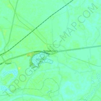
Name: Nawab Ganj topographic map, elevation, terrain.
Location: Nawab Ganj, Hasanganj, Unnao, Uttar Pradesh, India (26.58132 80.62642 26.66132 80.70642)
Average elevation: 124 m
Minimum elevation: 119 m
Maximum elevation: 131 m
Thank you for supporting this site ❤️
Make a donation
Make a donation
Other topographic maps
Click on a map to view its topography, its elevation and its terrain.