
Thank you for supporting this site ❤️
Make a donation
Make a donation
Hassel topographic map
Click on the map to display elevation.
Thank you for supporting this site ❤️
Make a donation
Make a donation
About this map
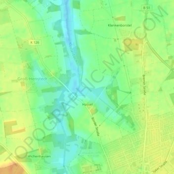
Name: Hassel topographic map, elevation, terrain.
Location: Hassel, Bassum, Landkreis Diepholz, Lower Saxony, Germany (52.85509 8.70634 52.87272 8.72777)
Average elevation: 41 m
Minimum elevation: 26 m
Maximum elevation: 57 m
Thank you for supporting this site ❤️
Make a donation
Make a donation