
Thank you for supporting this site ❤️
Make a donation
Make a donation
Frogtown topographic map
Click on the map to display elevation.
Thank you for supporting this site ❤️
Make a donation
Make a donation
About this map
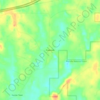
Name: Frogtown topographic map, elevation, terrain.
Location: Frogtown, Scott County, Mississippi, 39152, United States (32.28431 -89.59563 32.32431 -89.55563)
Average elevation: 136 m
Minimum elevation: 116 m
Maximum elevation: 160 m
Thank you for supporting this site ❤️
Make a donation
Make a donation
Other topographic maps
Click on a map to view its topography, its elevation and its terrain.