
Thank you for supporting this site ❤️
Make a donation
Make a donation
Maliyon Ki Dhani topographic map
Click on the map to display elevation.
Thank you for supporting this site ❤️
Make a donation
Make a donation
About this map
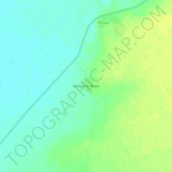
Name: Maliyon Ki Dhani topographic map, elevation, terrain.
Location: Maliyon Ki Dhani, Pachpadra Tehsil, Balotra, Rajasthan, India (25.94697 72.29997 25.98697 72.33997)
Average elevation: 120 m
Minimum elevation: 111 m
Maximum elevation: 129 m
Thank you for supporting this site ❤️
Make a donation
Make a donation