
Thank you for supporting this site ❤️
Make a donation
Make a donation
El Encanto topographic map
Click on the map to display elevation.
Thank you for supporting this site ❤️
Make a donation
Make a donation
About this map
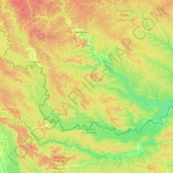
Name: El Encanto topographic map, elevation, terrain.
Location: El Encanto, Amazonas, RAP Amazonía, Kolumbien (-2.49078 -73.54068 -1.50277 -71.77405)
Average elevation: 141 m
Minimum elevation: 89 m
Maximum elevation: 244 m
Thank you for supporting this site ❤️
Make a donation
Make a donation
Other topographic maps
Click on a map to view its topography, its elevation and its terrain.