
Panaruban topographic map
Click on the map to display elevation.
About this map
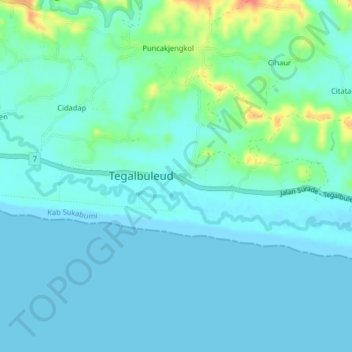
Name: Panaruban topographic map, elevation, terrain.
Location: Panaruban, Tegalbuleud, Sukabumi, West Java, Java, Indonesia (-7.44573 106.72743 -7.40573 106.76743)
Average elevation: 10 m
Minimum elevation: 0 m
Maximum elevation: 54 m