
和平里街道 topographic map
Interactive map
Click on the map to display elevation.
About this map
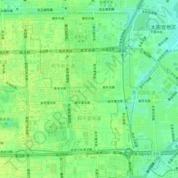
Name: 和平里街道 topographic map, elevation, terrain.
Location: 和平里街道, Distrito de Dongcheng, Pekín, 100010, China (39.94808 116.38021 39.97265 116.42484)
Average elevation: 48 m
Minimum elevation: 39 m
Maximum elevation: 52 m