
Thank you for supporting this site ❤️
Make a donation
Make a donation
Guridih topographic map
Click on the map to display elevation.
Thank you for supporting this site ❤️
Make a donation
Make a donation
About this map
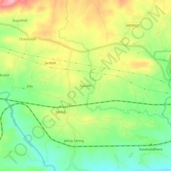
Name: Guridih topographic map, elevation, terrain.
Location: Guridih, Angara, Ranchi, Jharkhand, India (23.34358 85.59598 23.38358 85.63598)
Average elevation: 469 m
Minimum elevation: 401 m
Maximum elevation: 554 m
Thank you for supporting this site ❤️
Make a donation
Make a donation