
Thank you for supporting this site ❤️
Make a donation
Make a donation
Devgadh Baria topographic map
Click on the map to display elevation.
Thank you for supporting this site ❤️
Make a donation
Make a donation
About this map
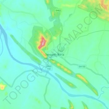
Name: Devgadh Baria topographic map, elevation, terrain.
Location: Devgadh Baria, Dahod, Gujarat, 389380, India (22.66149 73.86884 22.74149 73.94884)
Average elevation: 204 m
Minimum elevation: 165 m
Maximum elevation: 374 m
Thank you for supporting this site ❤️
Make a donation
Make a donation
Other topographic maps
Click on a map to view its topography, its elevation and its terrain.