
Thank you for supporting this site ❤️
Make a donation
Make a donation
De Haere topographic map
Click on the map to display elevation.
Thank you for supporting this site ❤️
Make a donation
Make a donation
About this map
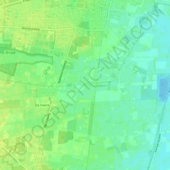
Name: De Haere topographic map, elevation, terrain.
Location: De Haere, Vaassen, Epe, Gelderland, Nederland, 7345EL, Nederland (52.27080 5.94620 52.27446 5.98549)
Average elevation: 14 m
Minimum elevation: 5 m
Maximum elevation: 21 m
Thank you for supporting this site ❤️
Make a donation
Make a donation
Other topographic maps
Click on a map to view its topography, its elevation and its terrain.