
Thank you for supporting this site ❤️
Make a donation
Make a donation
Martin County topographic map
Click on the map to display elevation.
Thank you for supporting this site ❤️
Make a donation
Make a donation
About this map
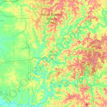
Name: Martin County topographic map, elevation, terrain.
Location: Martin County, Indiana, United States (38.49459 -86.92434 38.90470 -86.68234)
Average elevation: 180 m
Minimum elevation: 129 m
Maximum elevation: 283 m
Thank you for supporting this site ❤️
Make a donation
Make a donation
Other topographic maps
Click on a map to view its topography, its elevation and its terrain.