
Make a donation
Raton Pass topographic map
Click on the map to display elevation.
Make a donation
Raton Pass
Ratón Pass is a 7,834 ft (2,388 m) elevation mountain pass on the Colorado–New Mexico border in the western United States. It is located on the eastern side of the Sangre de Cristo Mountains between Trinidad, Colorado and Raton, New Mexico, approximately 180 miles (290 km) northeast of Santa Fe. Ratón is Spanish for "mouse". The pass crosses the line of volcanic mesas that extends east from the Sangre de Cristo Mountains along the state line, and furnishes the most direct land route between the valley of the Arkansas River to the north and the upper valley of the Canadian River, leading toward Santa Fe, to the south. The pass now carries Interstate 25 and railroad tracks.
Make a donation
About this map
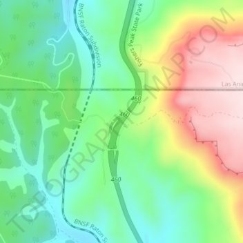
Name: Raton Pass topographic map, elevation, terrain.
Location: Raton Pass, Colfax County, New Mexico, United States (36.99017 -104.48280 36.99027 -104.48270)
Average elevation: 2,398 m
Minimum elevation: 2,263 m
Maximum elevation: 2,617 m
Make a donation
Other topographic maps
Click on a map to view its topography, its elevation and its terrain.