
Sá topographic map
Interactive map
Click on the map to display elevation.
About this map
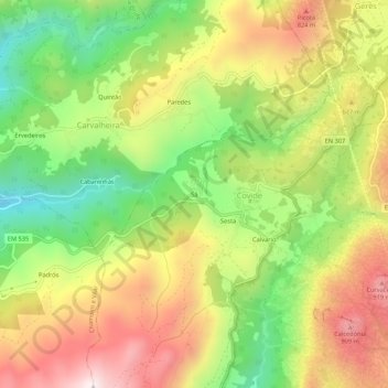
Name: Sá topographic map, elevation, terrain.
Location: Sá, Covide, Terras de Bouro, Braga, 4840-080, Portugal (41.71880 -8.24217 41.75880 -8.20217)
Average elevation: 595 m
Minimum elevation: 239 m
Maximum elevation: 978 m