
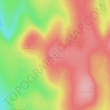
Black Ridge topographic map
Interactive map
Click on the map to display elevation.
About this map
Name: Black Ridge topographic map, elevation, terrain.
Average elevation: 527 m
Minimum elevation: 439 m
Maximum elevation: 581 m
Other topographic maps
Click on a map to view its topography, its elevation and its terrain.
Chagford
United Kingdom > England > West Devon > Chagford
Chagford, West Devon, Devon, South West England, England, TQ13 8AA, United Kingdom
Average elevation: 254 m