
Thank you for supporting this site ❤️
Make a donation
Make a donation
Paran topographic map
Click on the map to display elevation.
Thank you for supporting this site ❤️
Make a donation
Make a donation
About this map
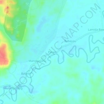
Name: Paran topographic map, elevation, terrain.
Location: Paran, Balangan, Kalimantan du Sud, Kalimantan, Indonésie (-2.32864 115.48696 -2.28864 115.52696)
Average elevation: 33 m
Minimum elevation: 21 m
Maximum elevation: 88 m
Thank you for supporting this site ❤️
Make a donation
Make a donation