
Thank you for supporting this site ❤️
Make a donation
Make a donation
Hennepin County topographic map
Click on the map to display elevation.
Thank you for supporting this site ❤️
Make a donation
Make a donation
About this map
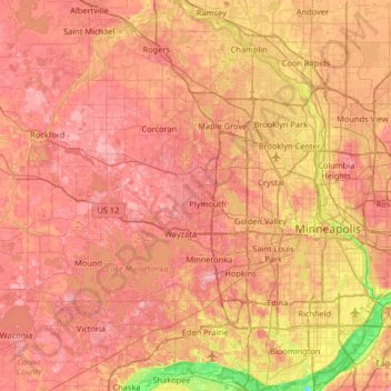
Name: Hennepin County topographic map, elevation, terrain.
Location: Hennepin County, Minnesota, United States (44.78513 -93.76800 45.24662 -93.17684)
Average elevation: 280 m
Minimum elevation: 190 m
Maximum elevation: 340 m
Thank you for supporting this site ❤️
Make a donation
Make a donation