
San Vicente de Ferrer topographic map
Interactive map
Click on the map to display elevation.
About this map
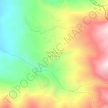
Name: San Vicente de Ferrer topographic map, elevation, terrain.
Location: San Vicente de Ferrer, Rio Bonito, El Guabo, El Oro, Ecuador (-3.17580 -79.67176 -3.13580 -79.63176)
Average elevation: 1,428 m
Minimum elevation: 844 m
Maximum elevation: 2,110 m