
Datong topographic map
Click on the map to display elevation.
About this map
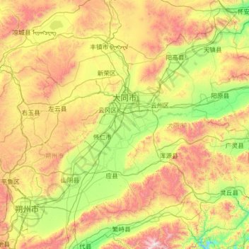
Name: Datong topographic map, elevation, terrain.
Location: Datong, Shanxi, China (39.04845 112.57067 40.74496 114.56551)
Average elevation: 1,339 m
Minimum elevation: 690 m
Maximum elevation: 3,029 m
Other topographic maps
Click on a map to view its topography, its elevation and its terrain.