
Love Island topographic map
Interactive map
Click on the map to display elevation.
About this map
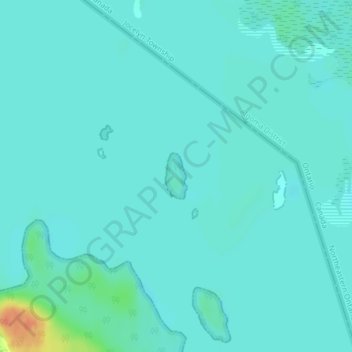
Name: Love Island topographic map, elevation, terrain.
Average elevation: 177 m
Minimum elevation: 170 m
Maximum elevation: 211 m
Other topographic maps
Click on a map to view its topography, its elevation and its terrain.
Drummond Township
États-Unis d'Amérique > Michigan > Chippewa County
Drummond Township, Chippewa County, Michigan, 49726, États-Unis d'Amérique
Average elevation: 181 m