
Thank you for supporting this site ❤️
Make a donation
Make a donation
Baihe County topographic map
Click on the map to display elevation.
Thank you for supporting this site ❤️
Make a donation
Make a donation
About this map
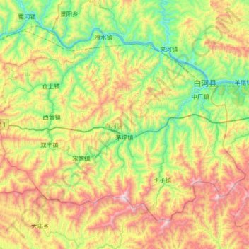
Name: Baihe County topographic map, elevation, terrain.
Location: Baihe County, Ankang, Shaanxi, China (32.54546 109.63178 32.91620 110.20130)
Average elevation: 760 m
Minimum elevation: 165 m
Maximum elevation: 1,845 m
Thank you for supporting this site ❤️
Make a donation
Make a donation