
Gralingen topographic map
Interactive map
Click on the map to display elevation.
About this map
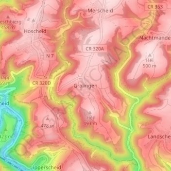
Name: Gralingen topographic map, elevation, terrain.
Location: Gralingen, Putscheid, Canton Vianden, 9375, Luxembourg (49.91647 6.07973 49.95647 6.11973)
Average elevation: 423 m
Minimum elevation: 227 m
Maximum elevation: 502 m
Other topographic maps
Click on a map to view its topography, its elevation and its terrain.