
Thank you for supporting this site ❤️
Make a donation
Make a donation
Varrel topographic map
Click on the map to display elevation.
Thank you for supporting this site ❤️
Make a donation
Make a donation
About this map
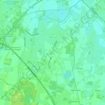
Name: Varrel topographic map, elevation, terrain.
Location: Varrel, Stuhr, Landkreis Diepholz, Niedersachsen, Deutschland (53.01242 8.67994 53.04419 8.72268)
Average elevation: 8 m
Minimum elevation: 2 m
Maximum elevation: 16 m
Thank you for supporting this site ❤️
Make a donation
Make a donation
Other topographic maps
Click on a map to view its topography, its elevation and its terrain.