
Sadarna Abu Klua topographic map
Interactive map
Click on the map to display elevation.
About this map
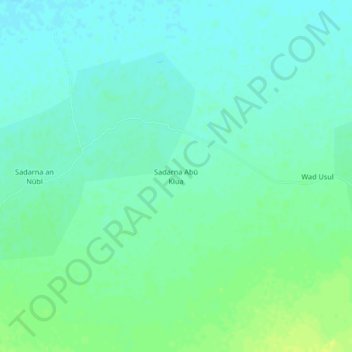
Name: Sadarna Abu Klua topographic map, elevation, terrain.
Location: Sadarna Abu Klua, Gezira State, Sudan (14.93000 33.58000 14.97000 33.62000)
Average elevation: 414 m
Minimum elevation: 408 m
Maximum elevation: 424 m
Other topographic maps
Click on a map to view its topography, its elevation and its terrain.