
Thank you for supporting this site ❤️
Make a donation
Make a donation
Châteauneuf topographic map
Click on the map to display elevation.
Thank you for supporting this site ❤️
Make a donation
Make a donation
About this map
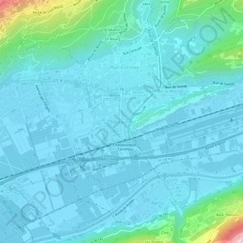
Name: Châteauneuf topographic map, elevation, terrain.
Location: Châteauneuf, Conthey, Valais, 1964, Suisse (46.19901 7.28382 46.23901 7.32382)
Average elevation: 541 m
Minimum elevation: 473 m
Maximum elevation: 1,064 m
Thank you for supporting this site ❤️
Make a donation
Make a donation