
Winchester topographic map
Click on the map to display elevation.
About this map
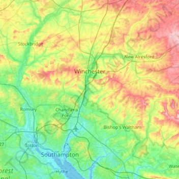
Name: Winchester topographic map, elevation, terrain.
Location: Winchester, Hampshire, England, United Kingdom (50.85512 -1.45651 51.19700 -1.03391)
Average elevation: 73 m
Minimum elevation: -3 m
Maximum elevation: 230 m