
Make a donation
Molln topographic map
Click on the map to display elevation.
Make a donation
Molln
Molln liegt auf 442 m Höhe im Traunviertel im engen Tal des oberösterreichischen Flusses Steyr, nahe der Mündung der Krummen Steyrling. Die Gemeinde gehört zum Bezirk Kirchdorf und ist etwa 20 Kilometer von Kirchdorf und 30 Kilometer von Steyr entfernt.
Make a donation
About this map
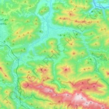
Name: Molln topographic map, elevation, terrain.
Location: Molln, Bezirk Kirchdorf, Oberösterreich, 4591, Österreich (47.78230 14.15533 47.92266 14.41534)
Average elevation: 791 m
Minimum elevation: 331 m
Maximum elevation: 1,945 m
Make a donation
Other topographic maps
Click on a map to view its topography, its elevation and its terrain.
Weigersdorf
Österreich > Oberösterreich > Bezirk Kirchdorf > Ried im Traunkreis
Average elevation: 435 m
Make a donation
Hutterer Böden
Österreich > Oberösterreich > Bezirk Kirchdorf > Hinterstoder
Average elevation: 1,327 m