
Bengal topographic map
Interactive map
Click on the map to display elevation.
About this map
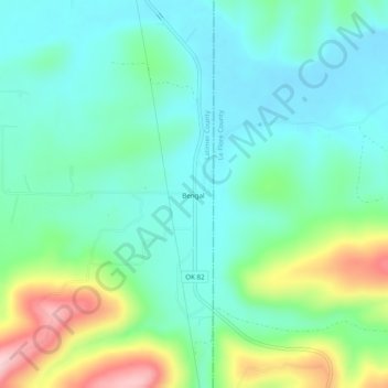
Name: Bengal topographic map, elevation, terrain.
Location: Bengal, Latimer County, Oklahoma, USA (34.81288 -95.08191 34.85288 -95.04191)
Average elevation: 241 m
Minimum elevation: 183 m
Maximum elevation: 399 m