
Sarolangun topographic map
Interactive map
Click on the map to display elevation.
About this map
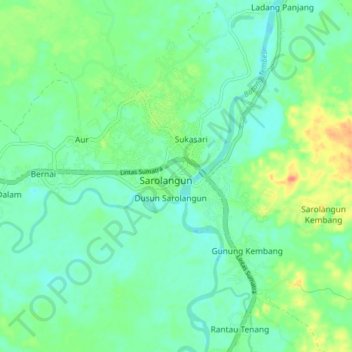
Name: Sarolangun topographic map, elevation, terrain.
Location: Sarolangun, Kecamatan Sarolangun, Jambi, Indonesië (-2.34428 102.67982 -2.26428 102.75982)
Average elevation: 41 m
Minimum elevation: 27 m
Maximum elevation: 74 m