
Coe Lake topographic map
Interactive map
Click on the map to display elevation.
About this map
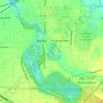
Name: Coe Lake topographic map, elevation, terrain.
Location: Coe Lake, Berea, Cuyahoga County, Ohio, United States (41.36112 -81.85251 41.36564 -81.84712)
Average elevation: 243 m
Minimum elevation: 229 m
Maximum elevation: 255 m