
Thank you for supporting this site ❤️
Make a donation
Make a donation
Akkar topographic map
Click on the map to display elevation.
Thank you for supporting this site ❤️
Make a donation
Make a donation
About this map
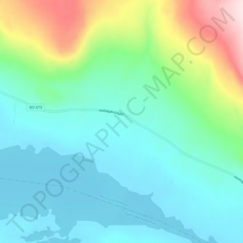
Name: Akkar topographic map, elevation, terrain.
Location: Akkar, Kiruna kommun, Norrbotten County, Sweden (67.84279 19.41401 67.88279 19.45401)
Average elevation: 555 m
Minimum elevation: 464 m
Maximum elevation: 857 m
Thank you for supporting this site ❤️
Make a donation
Make a donation
Other topographic maps
Click on a map to view its topography, its elevation and its terrain.