
Ateny topographic map
Interactive map
Click on the map to display elevation.
About this map
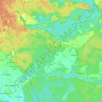
Name: Ateny topographic map, elevation, terrain.
Average elevation: 141 m
Minimum elevation: 121 m
Maximum elevation: 187 m
Other topographic maps
Click on a map to view its topography, its elevation and its terrain.
Augustów
Poland > Podlaskie Voivodeship > Augustów County
Augustów, Augustów County, Podlaskie Voivodeship, 16-300, Poland
Average elevation: 129 m