
伟木村 topographic map
Interactive map
Click on the map to display elevation.
About this map
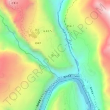
Name: 伟木村 topographic map, elevation, terrain.
Location: 伟木村, 布拖县, 凉山彝族自治州, 四川省, 616300, 中国 (27.40569 102.92319 27.44569 102.96319)
Average elevation: 1,129 m
Minimum elevation: 555 m
Maximum elevation: 1,911 m
Other topographic maps
Click on a map to view its topography, its elevation and its terrain.