
Thank you for supporting this site ❤️
Make a donation
Make a donation
Ballesteros topographic map
Click on the map to display elevation.
Thank you for supporting this site ❤️
Make a donation
Make a donation
About this map
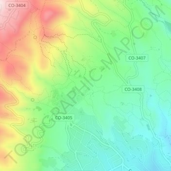
Name: Ballesteros topographic map, elevation, terrain.
Location: Ballesteros, Córdoba, Andalucía, 14012, España (37.92212 -4.81302 37.94212 -4.79302)
Average elevation: 354 m
Minimum elevation: 195 m
Maximum elevation: 628 m
Thank you for supporting this site ❤️
Make a donation
Make a donation