
Thank you for supporting this site ❤️
Make a donation
Make a donation
Migwani topographic map
Click on the map to display elevation.
Thank you for supporting this site ❤️
Make a donation
Make a donation
About this map
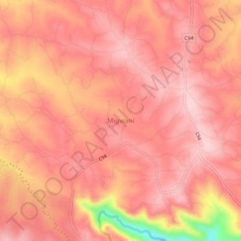
Name: Migwani topographic map, elevation, terrain.
Location: Migwani, Mwingi West, Kitui County, Eastern, Kenya (-1.11224 37.99946 -1.07224 38.03946)
Average elevation: 1,225 m
Minimum elevation: 1,054 m
Maximum elevation: 1,273 m
Thank you for supporting this site ❤️
Make a donation
Make a donation