
Bend topographic map
Interactive map
Click on the map to display elevation.
About this map
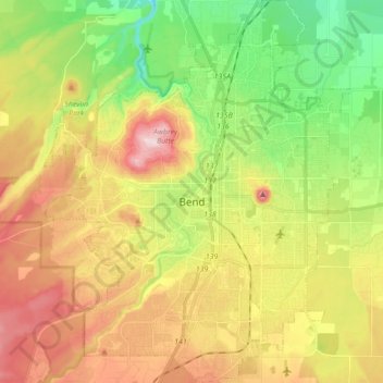
Name: Bend topographic map, elevation, terrain.
Location: Bend, Deschutes County, Oregon, États-Unis d'Amérique (43.99906 -121.38243 44.12375 -121.24335)
Average elevation: 1,121 m
Minimum elevation: 985 m
Maximum elevation: 1,286 m