
Thank you for supporting this site ❤️
Make a donation
Make a donation
Spring Arbor topographic map
Click on the map to display elevation.
Thank you for supporting this site ❤️
Make a donation
Make a donation
About this map
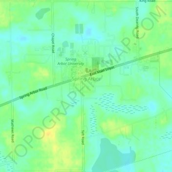
Name: Spring Arbor topographic map, elevation, terrain.
Location: Spring Arbor, Jackson County, Michigan, 49283, United States (42.18915 -84.57047 42.21836 -84.53076)
Average elevation: 304 m
Minimum elevation: 294 m
Maximum elevation: 318 m
Thank you for supporting this site ❤️
Make a donation
Make a donation
Other topographic maps
Click on a map to view its topography, its elevation and its terrain.