
Thank you for supporting this site ❤️
Make a donation
Make a donation
Gonabhavi topographic map
Click on the map to display elevation.
Thank you for supporting this site ❤️
Make a donation
Make a donation
About this map
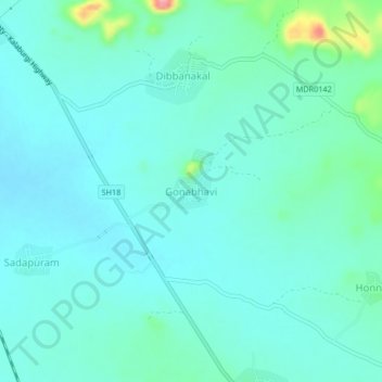
Name: Gonabhavi topographic map, elevation, terrain.
Location: Gonabhavi, Adoni, Kurnool, Andhra Pradesh, India (15.56910 77.30161 15.60910 77.34161)
Average elevation: 436 m
Minimum elevation: 417 m
Maximum elevation: 526 m
Thank you for supporting this site ❤️
Make a donation
Make a donation