
Thank you for supporting this site ❤️
Make a donation
Make a donation
Njele topographic map
Click on the map to display elevation.
Thank you for supporting this site ❤️
Make a donation
Make a donation
About this map
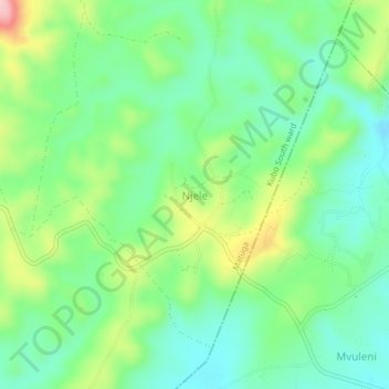
Name: Njele topographic map, elevation, terrain.
Location: Njele, Kubo South ward, Matuga, Kwale, Kenya (-4.33660 39.44660 -4.29660 39.48660)
Average elevation: 125 m
Minimum elevation: 62 m
Maximum elevation: 255 m
Thank you for supporting this site ❤️
Make a donation
Make a donation